The Convention Area is described in the Convention on the Conservation of Antarctic Marine Living Resources (![]() 74.48 KB) as consisting of all waters bounded by the Antarctic Continent to the south, and to the north by a line starting at 50°S 50°W; thence due east to 30°E longitude; thence due north to 45°S latitude; thence due east to 80°E longitude; thence due south to 55°S latitude; thence due east to 150°E longitude; thence due south to 60°S latitude; thence due east to 50°W longitude; thence due north to the starting point.
74.48 KB) as consisting of all waters bounded by the Antarctic Continent to the south, and to the north by a line starting at 50°S 50°W; thence due east to 30°E longitude; thence due north to 45°S latitude; thence due east to 80°E longitude; thence due south to 55°S latitude; thence due east to 150°E longitude; thence due south to 60°S latitude; thence due east to 50°W longitude; thence due north to the starting point.
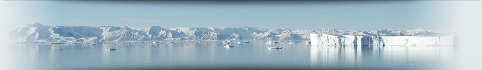
The Convention Area represents around 10 percent of the Earth’s oceans and has a surface area of 35 716 100 km2.
A Map of the CAMLR Convention Area (![]() 568.88 KB) is available to download, or you can view the area on the Online GIS.
568.88 KB) is available to download, or you can view the area on the Online GIS.